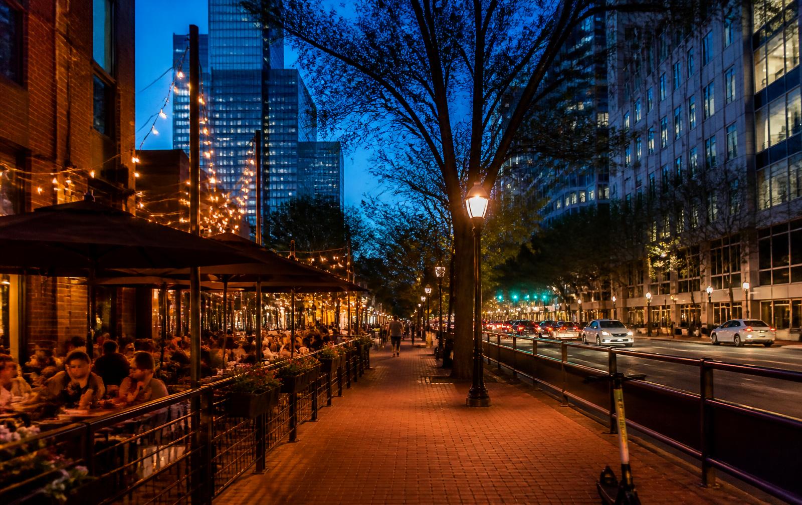
Museum and cultural venue exteriors in Uptown Charlotte at dusk

Landmarks

Uptown Charlotte landmarks & attractions

Independence Square, the Mint Museum Uptown, the Bechtler, the Harvey B. Gantt Center, Discovery Place Science, the NASCAR Hall of Fame, Bank of America Stadium, Truist Field and the towers themselves.

A dense, walkable attraction map

Almost everything visitors come to Uptown for sits inside 1.7 square miles, which means the practical question is not what to see but what order to see it in.

This page groups Uptown's landmarks by ward so you can build a route that does not double back. Hours change seasonally — confirm with each venue before you go.

Museums on one Third Ward block
4
Professional stadiums inside the loop
2
Total attraction footprint
1.7 sq mi
Car trips needed between them
0

01

Independence Square and the Tryon spine

The four sculptures at Trade and Tryon — commerce, industry, transportation and the future — mark the point where the wards meet and are the single best orientation stop in Uptown.

From the Square every ward is a ten-minute walk.

02

The Levine Center for the Arts — Third Ward

One block holds the Mint Museum Uptown, the Bechtler Museum of Modern Art, the Harvey B. Gantt Center for African-American Arts + Culture and the Knight Theater, with the Duke Energy Center rising behind them.

It is the densest concentration of cultural institutions in the Carolinas.

03

First Ward institutions

Discovery Place Science, the main library site, UNC Charlotte Center City and the 7th Street Public Market give First Ward the most daytime family and student traffic in Uptown.

The market is also the best single stop for visitors who want to eat across several local vendors in one place.

04

Stadiums and arenas

Bank of America Stadium and Truist Field sit in Third Ward; Spectrum Center sits in Second Ward on Trade Street. The NASCAR Hall of Fame anchors the Second Ward convention block.

Event days reshape traffic and parking across the entire loop — always check the calendar before booking a table or a tour.

05

The towers as landmarks

The Bank of America Corporate Center crown, the Duke Energy Center's programmable lighting and the Truist Center define the skyline from every approach, and their lobbies and plazas are part of the public experience of Uptown.

Read the architecture page for what each tower is actually doing.

Interactive

Map the four wards

Filter towers, parks, museums, stadiums, transit and schools inside the I-277 loop.

I-277 / Brookshire FreewayI-277 / John Belk FreewayN Tryon StW Trade StE Trade StS Tryon StW 9th StStonewall StFourth WardFirst WardThird WardSecond WardIndependence Square
Schematic — not to scale

The Wards

Independence Square

All four wards · Center

Trade and Tryon — the corner where the four wards meet, marked by the four bronze statues of Commerce, Industry, Transportation and the Future.

Browse 36 places

Interactive Uptown Charlotte map — 36 landmarks, towers, museums, stadiums, parks, transit stations, schools and markets across First, Second, Third and Fourth Ward inside the I-277 loop, Charlotte, NC 28202. Positions are schematic; verify parcel locations on Mecklenburg County POLARIS.

Questions & Answers

Frequently asked questions

Direct answers to what readers most often ask about this part of Uptown. Each answer cites the primary source it rests on.

All Uptown Charlotte questions →

What are the main attractions in Uptown Charlotte?

+

The Levine Center for the Arts block in Third Ward (Mint Museum Uptown, Bechtler Museum of Modern Art, Harvey B. Gantt Center, Knight Theater), Discovery Place Science and 7th Street Public Market in First Ward, the NASCAR Hall of Fame and Spectrum Center in Second Ward, and Bank of America Stadium and Truist Field in Third Ward.

Source: Mecklenburg County POLARIS 3G parcel viewer

Can you see Uptown Charlotte's attractions in one day?

+

Yes. Uptown is roughly 1.7 square miles inside the I-277 loop and every major attraction is a flat walk from Independence Square, so a full clockwise loop of the four wards fits comfortably in one day with meal stops.

Source: City of Charlotte

What is Independence Square in Charlotte?

+

Independence Square is the intersection of Trade and Tryon streets where the four wards of Uptown Charlotte meet, marked by four bronze sculptures representing commerce, industry, transportation and the future.

Source: City of Charlotte

Is Uptown Charlotte walkable for visitors?

+

Yes. The terrain is flat, the street grid is regular, the CityLYNX Gold Line streetcar runs along Trade Street and the LYNX Blue Line crosses Uptown, so most visitors never need a car once they have parked.

Source: Charlotte Area Transit System — LYNX Blue Line & CityLYNX Gold Line

Topic Cluster

Living in Uptown

Transit, parking, groceries, dogs, schools, and the daily rhythm of the wards.

The Uptown Guide — Living in Uptown

Our Sources

How this page was researched

This guide is independently written and verified against primary public records and official organizations. It is not affiliated with, endorsed by, or representing the City of Charlotte, Charlotte Center City Partners, any condominium association, or any building owner.

Read our full citation methodology and editorial standards
  1. 01
    Charlotte visitor and neighborhood guides

    Charlotte Regional Visitors Authority

    Dining, museums, events, and things to do inside the loop.

  2. 02
    State of the Center City report and development pipeline

    Charlotte Center City Partners

    Residential population, office inventory, and project pipeline for Uptown.

  3. 03
    Performing arts venues and season calendars

    Blumenthal Arts

    Belk Theater, Knight Theater, and Booth Playhouse programming.

  4. 04
    Local historic districts and designated landmarks

    Charlotte-Mecklenburg Historic Landmarks Commission

    Fourth Ward historic district and individually designated buildings.

  5. 05
    Parks, greenways, and recreation directory

    Mecklenburg County Park and Recreation

    Uptown park inventory, Little Sugar Creek Greenway, and Rail Trail access.

Figures such as pricing, dues, assessments, tenancy, and school assignment change over time. Always confirm current details directly with the source before making a decision.

Corrections

Found something out of date?

Buildings change hands, restaurants close, dues get restated, and boundaries move. If something on this page is wrong, tell us what and point to the record — corrections are reviewed against primary sources and published with the page's revision date.

Send correction