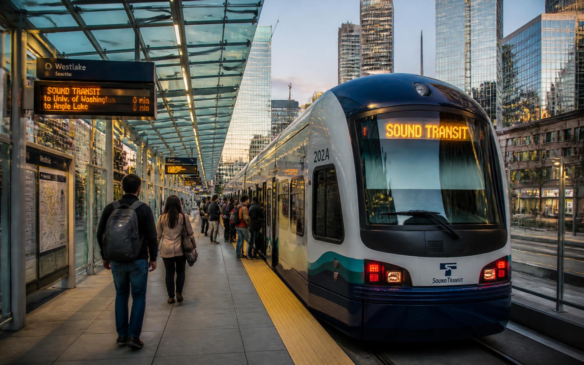
CityLYNX Gold Line streetcar on Trade Street in Uptown Charlotte

Getting around

Uptown Charlotte transit, parking & getting around

The LYNX Blue Line, the CityLYNX Gold Line streetcar, the Charlotte Transportation Center bus hub, the Overstreet Mall skywalks, parking decks, and how far Charlotte Douglas really is.

The only part of Charlotte where a car is optional

Uptown is the one Charlotte neighborhood where daily life without a car is realistic. Light rail crosses it, a streetcar runs its length, the regional bus hub sits inside it, and the whole district is flat.

Verify current routes, fares and service hours with the Charlotte Area Transit System before relying on any specific schedule.

Light rail through Uptown
Blue Line
Streetcar on Trade Street
Gold Line
To Charlotte Douglas (CLT)
~8 mi
Terrain across all four wards
Flat

01

LYNX Blue Line light rail

The Blue Line runs through Uptown on the Third Ward side and continues southwest to South End and Pineville-adjacent stations and northeast toward UNC Charlotte, making both the university and South End practical car-free trips.

Proximity to a Blue Line station is one of the most consistent pricing factors for Uptown residential addresses. Readers weighing the ride south against staying inside the loop will find the corridor's own housing stock covered in this South End Charlotte living guide.

02

CityLYNX Gold Line streetcar

The Gold Line streetcar runs along Trade Street through the center of Uptown, connecting Elizabeth and the east side to Johnson C. Smith University and the west, and crossing the Blue Line in the middle of the loop.

For residents it functions as an east-west shuttle across the wards rather than a commuter line.

03

The Charlotte Transportation Center

The CTC on Trade Street is the regional bus hub and the transfer point for most local routes, with the Gold Line and Blue Line both within a short walk.

It is also the practical connection point for express service from the suburbs.

04

Parking, decks and the skywalks

Nearly every residential building inside the loop assigns deck parking, and the ratio of deeded spaces to units is a real pricing variable — one space versus two changes both resale and daily life.

The Overstreet Mall network of second-level walkways links many Tryon Street towers, which matters more than visitors expect on rainy or extremely hot days.

  • Confirm deeded versus leased parking before buying — they are not the same asset
  • Event nights at the stadium, ballpark and arena reshape street parking across the loop
  • Many buildings cap guest parking; verify with the association

05

The airport

Charlotte Douglas International Airport sits roughly eight miles west of Uptown, typically fifteen to twenty-five minutes by car depending on time of day, with express bus service from the CTC.

For frequent travelers, that proximity is one of Uptown's strongest practical arguments.

Interactive

Map the four wards

Filter towers, parks, museums, stadiums, transit and schools inside the I-277 loop.

I-277 / Brookshire FreewayI-277 / John Belk FreewayN Tryon StW Trade StE Trade StS Tryon StW 9th StStonewall StFourth WardFirst WardThird WardSecond WardIndependence Square
Schematic — not to scale

The Wards

Independence Square

All four wards · Center

Trade and Tryon — the corner where the four wards meet, marked by the four bronze statues of Commerce, Industry, Transportation and the Future.

Browse 36 places

Interactive Uptown Charlotte map — 36 landmarks, towers, museums, stadiums, parks, transit stations, schools and markets across First, Second, Third and Fourth Ward inside the I-277 loop, Charlotte, NC 28202. Positions are schematic; verify parcel locations on Mecklenburg County POLARIS.

Questions & Answers

Frequently asked questions

Direct answers to what readers most often ask about this part of Uptown. Each answer cites the primary source it rests on.

All Uptown Charlotte questions →

Can you live in Uptown Charlotte without a car?

+

Yes. Uptown is flat, roughly 1.7 square miles, and served by the LYNX Blue Line light rail, the CityLYNX Gold Line streetcar on Trade Street and the Charlotte Transportation Center bus hub, with groceries and a public market inside the loop.

Source: Charlotte Area Transit System — LYNX Blue Line & CityLYNX Gold Line

How far is Charlotte Douglas airport from Uptown Charlotte?

+

Charlotte Douglas International Airport is about eight miles west of Uptown, generally a fifteen to twenty-five minute drive depending on traffic, with express bus service available from the Charlotte Transportation Center.

Source: Charlotte Area Transit System — LYNX Blue Line & CityLYNX Gold Line

Is parking hard in Uptown Charlotte?

+

Residents almost always park in assigned deck spaces attached to their building, so daily parking is straightforward; visitor and event-night parking is the harder problem, because Panthers, Knights and Spectrum Center events absorb deck capacity across the loop.

Source: Mecklenburg County Park & Recreation

What is the Overstreet Mall in Uptown Charlotte?

+

The Overstreet Mall is a network of second-level enclosed walkways connecting several Tryon Street office towers, with shops and food service along the route, allowing pedestrians to cross parts of Uptown without going outside.

Source: Blumenthal Arts and the Levine Center for the Arts

Topic Cluster

Living in Uptown

Transit, parking, groceries, dogs, schools, and the daily rhythm of the wards.

The Uptown Guide — Living in Uptown

Our Sources

How this page was researched

This guide is independently written and verified against primary public records and official organizations. It is not affiliated with, endorsed by, or representing the City of Charlotte, Charlotte Center City Partners, any condominium association, or any building owner.

Read our full citation methodology and editorial standards
  1. 01
    LYNX Blue Line, CityLYNX Gold Line, and bus network

    Charlotte Area Transit System

    Rail and streetcar stations, headways, and Uptown transit access.

  2. 02
    Charlotte Douglas International Airport

    City of Charlotte Aviation Department

    Airport access, drive times, and nonstop service from Uptown.

  3. 03
    State of the Center City report and development pipeline

    Charlotte Center City Partners

    Residential population, office inventory, and project pipeline for Uptown.

  4. 04
    Unified Development Ordinance and zoning maps

    City of Charlotte

    Uptown Mixed-Use zoning, height, and streetscape requirements.

Figures such as pricing, dues, assessments, tenancy, and school assignment change over time. Always confirm current details directly with the source before making a decision.

Corrections

Found something out of date?

Buildings change hands, restaurants close, dues get restated, and boundaries move. If something on this page is wrong, tell us what and point to the record — corrections are reviewed against primary sources and published with the page's revision date.

Send correction